")
")

Dien Bien Phu Holiday Weather today
Date/time of update: July 4, 2026, 12:57 am, Timezone: GMT+7
Broken Clouds
Temperature: 26.09°C
Temperature feels like: 26.09°C
Minimum Temperature: 26.09°C
Maximum Temperature: 26.09°C
Atmospheric pressure: 1006hPa
Humidity:88%
Visibility: 3299m
Wind speed: 0.66m/sec
Wind Direction: 287 degrees
Cloudiness: 63%
Sunrise: 2026-07-03 10:30:04
Sunset: 2026-07-04 11:54:07
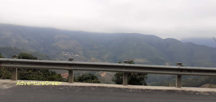
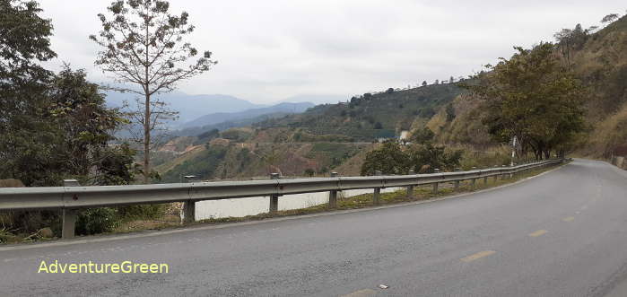
The Pha Din Pass is 32km in length connecting Thuan Chau District of Son La Province and Tuan Giao District of Dien Bien Province. The highest point of the pass is over 1,000m above sea level.
Pha Din in local Thai language means Earth and Heaven meaning the meeting place between the Earth and the Heaven. In 2005, there was another route lower than the old Route 6 on the Pha Din Pass with the total length of 26km which facilitates traffic through the mountain.


The Pha Din Pass was among the most bombed area during the Battle of Dien Bien Phu and it was the main supply route for the Viet Minh during the course of the battle. The ending point of the Pha Din Pass in Dien Bien Province is 84km from Dien Bien Phu City. The ending point in Son La Province is 66km from Son La City.

Dien Bien Average Monthly Rainfalls and Temperatures


