")
")

Tinh Thanh Hoa Holiday Weather today
Date/time of update: July 28, 2026, 1:35 am, Timezone: GMT+7
Light Rain
Temperature: 28.38°C
Temperature feels like: 32.55°C
Minimum Temperature: 28.38°C
Maximum Temperature: 28.38°C
Atmospheric pressure: 1006hPa
Humidity:77%
Visibility: 10000m
Wind speed: 1.6m/sec
Wind Direction: 3 degrees
Cloudiness: 100%
Sunrise: 2026-07-27 10:31:42
Sunset: 2026-07-28 11:37:04
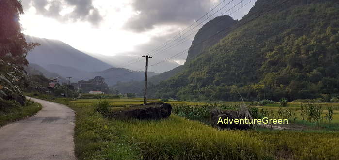
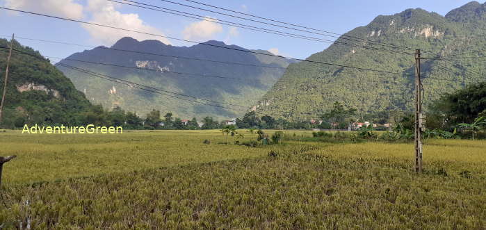
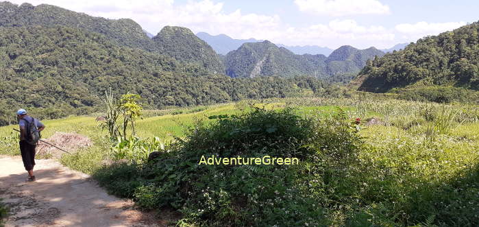
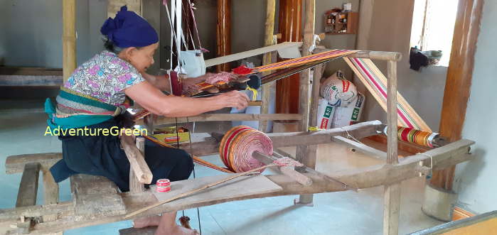
Pu Luong Nature Reserve is situated to the northwest of Thanh Hoa Province stretching in Quan Hoa and Ba Thuoc Districts. The nature reserve is home to Thai People and Muong People. The name of the nature reserve is from the name of the highest mountain peak in the area.
Travel Guide to the Pu Luong Nature Reserve
1/ Geography of the Pu Luong Nature Reserve
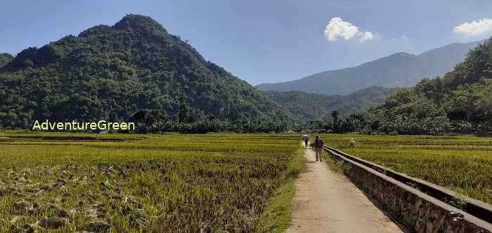
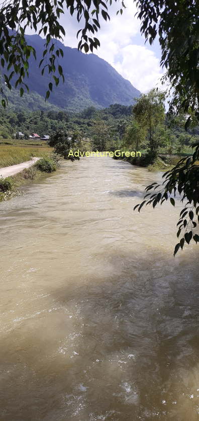
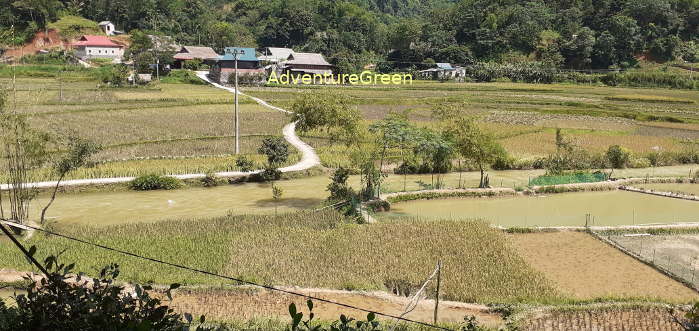
The Pu Luong Nature Reserve covers an area of 17,662 hectares including the Pu Luong Mountain to the west and series of other mountains to the west. The mountains at Pu Luong align on an northwest-southeast axis. In between the mountains, there are villages alternated by valleys and rice terraces.
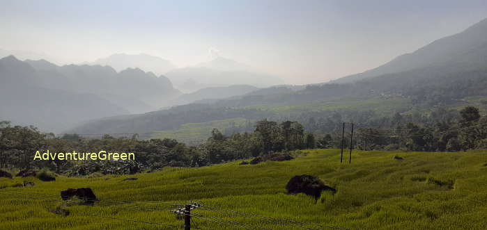
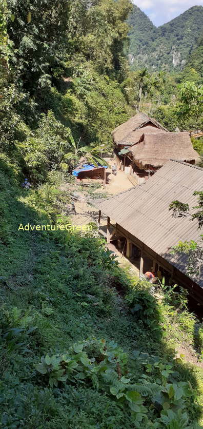
The highest mountain peak at Pu Luong is the Pu Luong Peak at 1,700m above sea level and the highest villages are Son-Ba-Muoi located at around 800-1,200m above sea level.
2/ Roads at the Pu Luong Nature Reserve
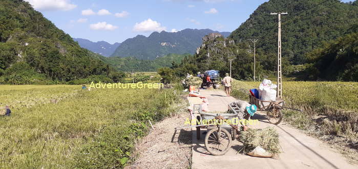
- Route 15C runs northwest-southeast at the base of the Pu Luong Mountain starting from Sai Village to the north and Canh Nang to the south of the nature reserve. Most villages at Pu Luong are on either side of this route.
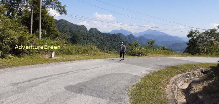
- A small and good road running in parallel to but half the length of Route 15C from Pho Doan to Kho Muong Village.
- A small but good road running north-south from Ban Nua to Pho Doan.
All the above roads are in good conditions and with captivating landscape.
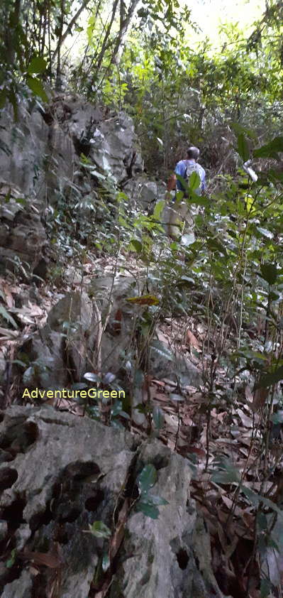
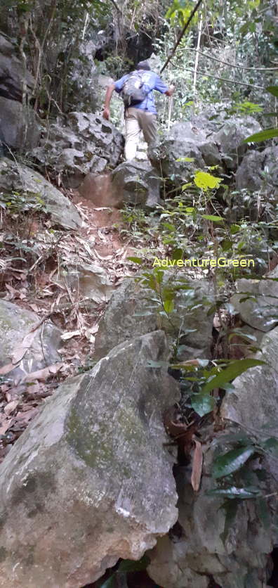
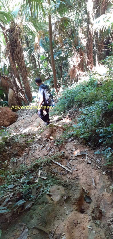
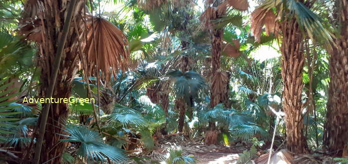
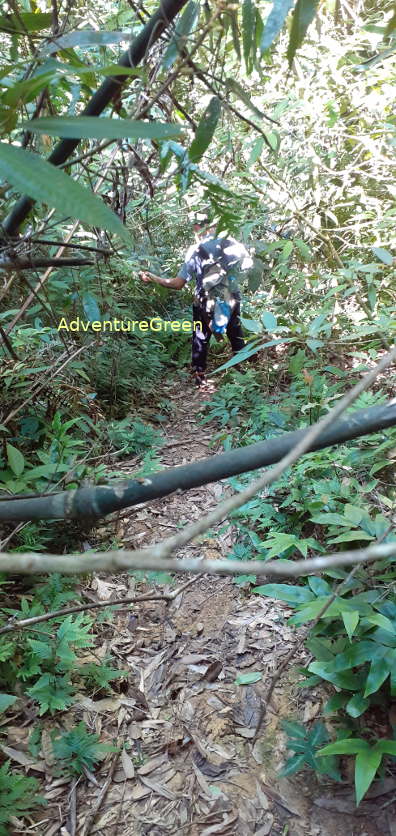
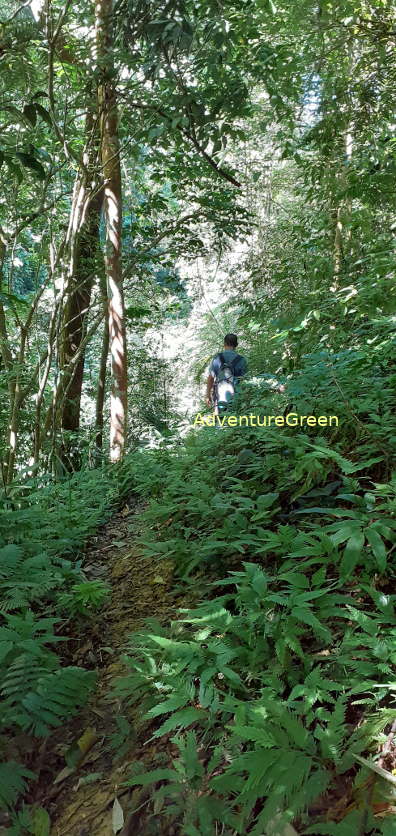
3/ Trekking and Hiking Tours at the Pu Luong Nature Reserve
Pu Luong is relatively off-the-tourist track destination and taking a hiking or trekking tour at Pu Luong, you are more likely not to encounter many other tourists or big tour groups. There are several trails linking one village to another at the Pu Luong Nature Reserve. Some trails travel through valleys and rice fields, some others go through forest or mountains with steep slopes. Depending on individual interest, some travelers would like to have a peep into village life while some others would like to have an experience amid dense forest and/or steep mountain slopes.
3.1 Hiking Tour through Villages
3.2 Trekking Tour through Limestone Mountains
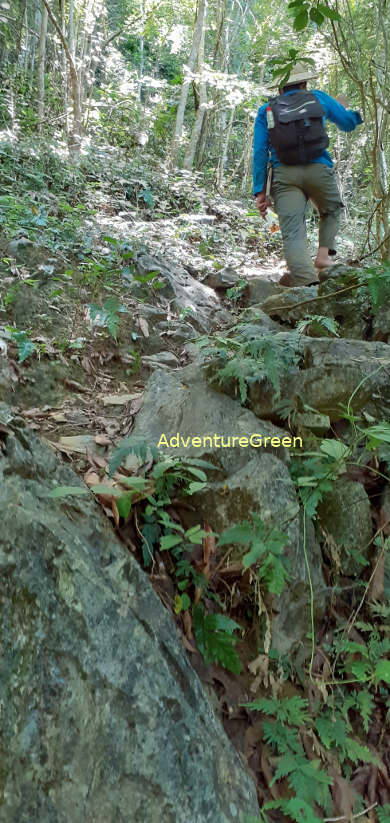
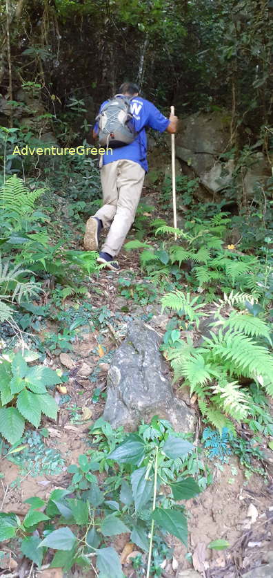
3.3 Hiking Trail through Forest
Thanh Hoa Average Monthly Rainfalls and Temperatures


